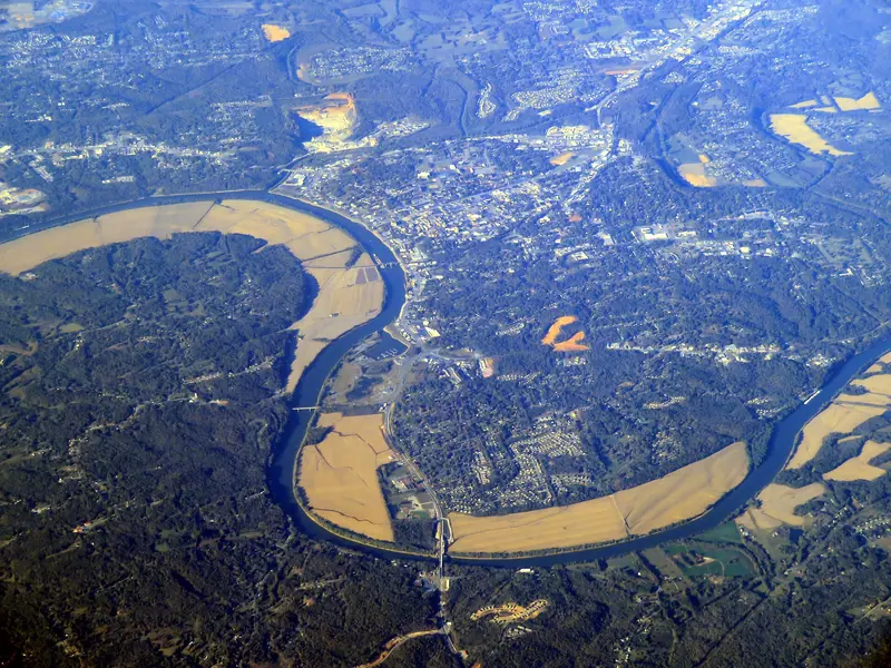
What is flood stage on the Cumberland at Clarksville?
Flood stage is 46 feet on the Clarksville gauge, which the National Weather Service lists as CKVT1, "Cumberland River at Clarksville" (NWS gauge CKVT1). The service sets three more lines around it: action stage at 40 feet, moderate flooding at 50 and major flooding at 55. Those numbers are river height on the gauge, not depth of water in any street.
The gauge's forecasts and current reading sit on the same NWS page. When a forecast crest crosses 46, the categories above are the quickest way to judge what it means.
How high did the river get in May 2010?
It crested at 62.58 feet on May 4, 2010, the record on the gauge and 16.58 feet over flood stage by our subtraction. The next-highest crest, 57.1 feet in March 1975, sits five and a half feet lower. Only five crests on the NWS list ever topped the 55-foot major line.
The most recent crest above flood stage came in February 2019, at 51.44 feet.
What floods at each river stage?
Water starts backing up the tributaries first. NWS impact notes say that from 40 feet, backwater reaches Bartons Creek, the Red River, the West Fork Red River and Yellow Creek. At 50 feet, Riverside Drive begins to flood near TN-48, Providence Boulevard, McClure Street and Cumberland Drive, and most farmland along the river is under water, along with many industrial and commercial sites and Riverfront Park.
The notes run in steps up to 63 feet, so the higher the forecast, the longer the list. Houses in low ground near the creek mouths can see water in yards, crawlspaces and basements well before a street closes.
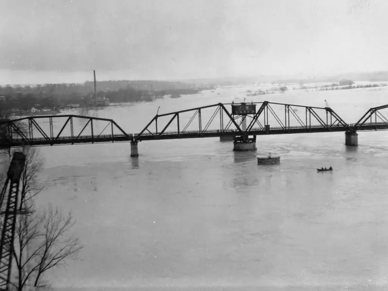
When in the year does the river crest?
Late winter. Of the 12 highest crests on the NWS historic list for Clarksville, six came in February, two in March, one in January and three in May, by our count. None fell between June and December.
That pattern overlaps the freeze season. A house can face burst-pipe risk and high water in the same few weeks, which is why our freeze nights page and this one share a calendar.
What about the Red River at Port Royal?
The Red River has its own gauge, PORT1, "Red River near Port Royal", with flood stage at 30 feet, moderate flooding at 38 and major at 40 (NWS gauge PORT1). Its record crest was 49.48 feet on May 3, 2010, one day before the Cumberland peaked. NWS notes say that at 44 feet water reaches homes on Rivermont Drive, River Run, Idlewood Drive and Wimbledon Court.
What should you do when the river is rising?
Stay out of the water and keep away from power. Ready.gov says not to walk, swim or drive through flood water, and notes that six inches of moving water can knock a person down and a foot can carry a car away (FEMA Ready.gov). The NWS adds that over half of flood drownings happen when a vehicle is driven into hazardous water (NWS Turn Around Don't Drown). The NWS clip below makes the same point in under a minute.
Never go into a flooded crawlspace or basement with the power still on. Water touching wiring, outlets or a water heater can carry current, so wait until the electricity is shut off by the utility or an electrician.
Homeowner's insurance does not cover flooding, and Ready.gov says a flood policy typically takes up to 30 days to take effect, so it has to be bought well before a crest is forecast. A septic system in saturated ground needs its own care; see our septic page. Low ground here is also karst ground, covered on our sinkholes page.
Behind these numbers
Stages, impact notes and the crest list come from the NWS National Water Prediction Service for gauges CKVT1 and PORT1, read on 6 Nov 2026; the month tally and the height differences are our arithmetic. The NWS list is of notable crests, not every flood year, and the USGS holds no daily stage record for the Cumberland at Clarksville to fill the gaps. A stage forecast cannot say whether water will reach a given house; we could not open Montgomery County's flood-information page, so check your address with the county directly.
Questions people ask
Is 46 feet the level where houses flood?
No single level fits every house. Forty-six feet is the NWS flood stage for the gauge; the impact notes describe tributary backwater from 40 feet and street flooding on Riverside Drive from 50.
When did the Cumberland last flood at Clarksville?
The latest crest above flood stage on the NWS list is 51.44 feet in February 2019, which falls in the moderate band.
Why did both rivers peak in May 2010?
Both gauges recorded their highest crests that week, the Red River on May 3 at 49.48 feet and the Cumberland on May 4 at 62.58 feet. The NWS data show the dates and heights; the cause is outside what the gauge records.
Does homeowner's insurance pay for river flooding?
Ready.gov says homeowner's policies do not cover flooding. A separate flood policy usually needs up to 30 days to take effect.
Can the river back up into my plumbing?
The gauge data do not say. If water rises around the house, stay out of a flooded crawlspace or basement while the power is on and call a licensed plumber about drains once it is safe.
Sources
- NOAA NWS National Water Prediction Service — Cumberland River at Clarksville (CKVT1) · flood categories and forecasts · checked 6 Nov 2026
- NOAA NWPS API — gauge CKVT1 · historic crests and impact notes · checked 6 Nov 2026
- NOAA NWS National Water Prediction Service — Red River near Port Royal (PORT1) · Red River categories, record crest and impact notes · checked 6 Nov 2026
- FEMA Ready.gov — Floods · flood-water and electrocution safety, insurance waiting period · checked 6 Nov 2026
- NOAA NWS — Turn Around Don't Drown · share of flood drownings in vehicles · checked 6 Nov 2026
- USGS — Cumberland River at Clarksville, TN (03436500) · no daily stage record held · checked 6 Nov 2026
- NWS — Turn Around Don't Drown PSA (video) · the flood-water message in the clip · checked 6 Nov 2026